Key Capabilities
Six integrated modules in a single intelligence layer—satellite-backed monitoring, suitability, precision inputs, risk, farmer reach, and traceability.
01
Crop Health Monitoring
Stay on top of crop conditions with AI driven analysis.
Process multi temporal imagery and vegetation indices (including NDVI) to flag stress early, compare parcels over seasons, and deliver color coded crop health maps aligned to ground truth.
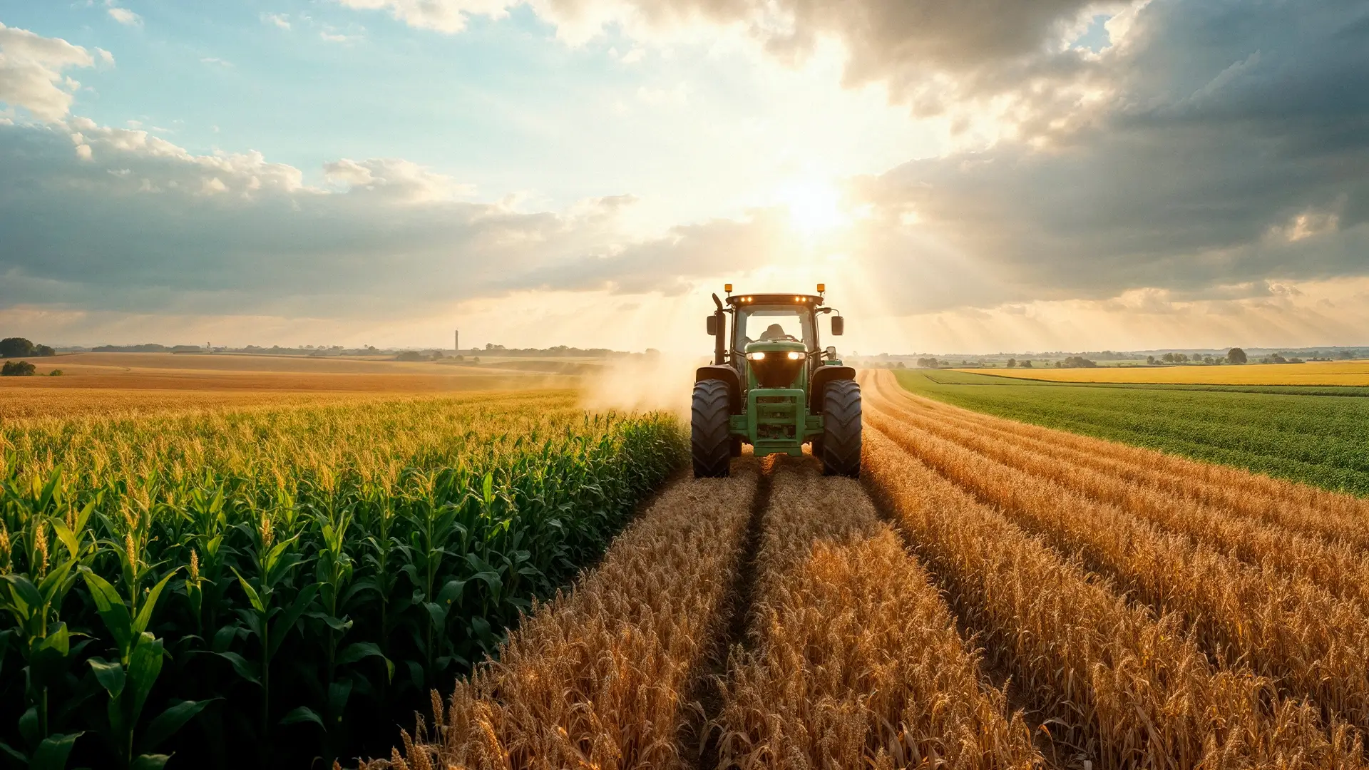
02
Suitability & Land Use Analysis
Plant the right crop in the right place.
GeoAI models fuse soil, topography, drainage, climate, and historical yields to recommend crop types, rotations, and site suitability so programs invest where conditions support outcomes.
03
Precision Farming Dashboard
Optimize inputs and operations.
Unify UAV, hyperspectral, IoT, and equipment telemetry for irrigation and nutrient maps, variable rate planning, and yield zone management across large portfolios.
04
Crop Insurance & Risk Management
Bridge the gap between farmers, programs, and insurers.
Satellite verified loss signals and parametric risk modeling quantify weather and yield impacts with objective evidence supporting fair claims, audits, and large scale crop insurance schemes.
05
Farmer Information System
Decision support where farmers already work.
Per-farmer visibility on weather, inputs, market prices, insurance, and advisory delivered through cooperative, extension, or ministry channels with consistent, verified context.
06
Supply Chain Management
Farm-gate to buyer with parcel level provenance.
Traceability, inventory, logistics, and market linkage anchored to verified crop identity so procurement and subsidy programs reduce leakage and disputes.