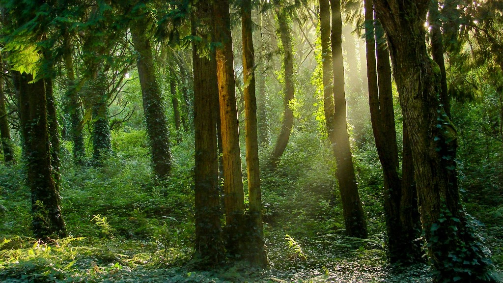
Deforestation Detection
Catch disturbance early at concession or plot scale.
Multi-temporal change detection flags loss and degradation within days, with geo-referenced alerts so teams respond before evidence grows cold.

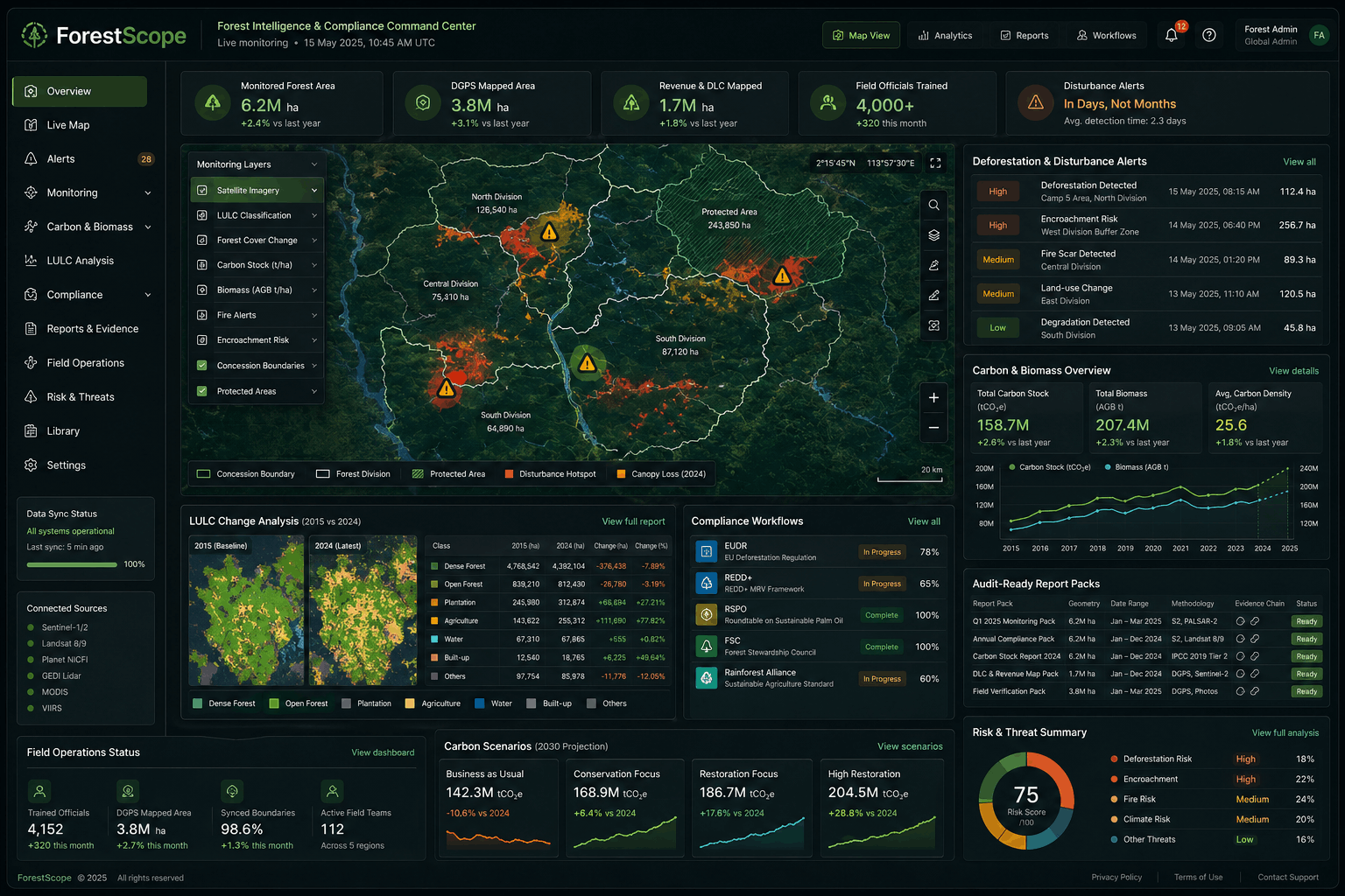
Continuous, audit grade forest intelligence for regulated programs. Disturbance detection, carbon and biomass estimation, and LULC tracking. Instrumented for REDD+, EUDR, RSPO, FSC, and Rainforest Alliance audits. Already operating across 6.2M hectares of state forest. Adds the regulatory frameworks the buyer cares about (especially EUDR, the EU Deforestation Regulation, the largest forest data buying signal of 2026). Quantifies the live deployment scale.
Forestry runs on auditors. Carbon credits are only as good as the MRV that backs them. EUDR shipments are only as compliant as the deforestation evidence pack. RSPO certifications are only as defensible as the canopy timeline behind them. ForestScope produces the evidence: continuous satellite monitoring, biomass and carbon stock modeling, and land use change timelines. Formatted for the audit, not just the dashboard.
Five integrated capabilities for continuous forest intelligence from disturbance detection to carbon verification, compliance reporting, and silvopasture monitoring.
Catch disturbance early at concession or plot scale.
Multi-temporal change detection flags loss and degradation within days, with geo-referenced alerts so teams respond before evidence grows cold.
Biomass and carbon models calibrated for MRV.
Above-ground biomass and carbon stock estimation aligned to plot calibration, ready for VCS, Gold Standard, REDD+, and audit-grade reporting cycles.
LULC timelines for baselines and what if scenarios.
Consistent classifications from 2015 forward support compliance narratives, baselines, and counterfactual modeling across AOIs and concessions.
Evidence packs built for auditors not just dashboards.
Pre-formatted geometry, dates, methodology, and chain of evidence for EUDR, RSPO, FSC, Rainforest Alliance, and similar programs.
Silvopasture and agroforestry vegetation in one view.
Vegetation health signals tuned for cattle forest integration in tropical geographies, complementing canopy and carbon workflows.
Virtual Demo
Phase 1 is a 2–3 minute walkthrough: forest coverage map, deforestation alert timeline, carbon stock panel, LULC before/after comparison, and compliance-oriented reporting.
Book a personalized demo with your AOIs, concession boundaries, and carbon or certification workflows in scope.
Book a Personalized DemoCase Study Spotlight
Forest Land Information and Decision Support System (FLIDSS). Statewide forest land administration on a unified spatial layer.
Contact us for ForestScope deployment options, AOI coverage, carbon program integrations, and compliance reporting aligned to your certification stack.