
Built to support BC Forest Act, RSPO, FSC, and Rainforest Alliance frameworks—ensuring your data meets global transparency standards.
Forestry operators and government agencies are responsible for managing vast, often remote forest landscapes with limited ground resources. Traditional field surveys capture only a small fraction of actual conditions, leaving large areas unmonitored for extended periods. As a result, deforestation, encroachment, and land-use changes can go undetected for months—creating significant legal, financial, and reputational risks. Without continuous visibility, effective forest governance and protection remain a challenge.
The pressure around carbon reporting has changed the game. Carbon credit programs, REDD+ initiatives, and ESG-driven investors now expect numbers that can be verified—not estimates. Old methods are too slow and easy to challenge. What’s needed is continuous, satellite-backed measurement of biomass and carbon that stands up to audit. ForestScope turns forest data into something credible, current, and defensible for international markets.
The regulatory landscape continues to evolve, with frameworks such as the BC Forest Act and FSC placing emphasis on transparency and sustainable practices. In Canada, the growing role of First Nations in forest stewardship underscores the need for accurate, shared data systems. Additionally, increasing wildfire frequency demands continuous monitoring of fuel loads and risk zones. SPARC supports operators and governments with platforms that enable compliant, data-driven, and resilient forest management.
Purpose-built geospatial solutions for sustainable forest management—enabling continuous monitoring from canopy health to carbon verification.
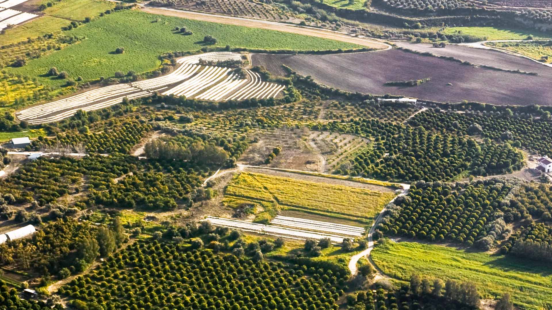
High-precision LULC mapping using satellite and GIS data to support forest administration, zoning, land classification, and regulatory compliance.
AI/ML-driven monitoring with real-time satellite alerts for unauthorized clearing, encroachment, and canopy density changes across forest landscapes.
Satellite-derived biomass assessment enabling carbon credit verification, REDD+ compliance, and ESG reporting with traceable, auditable data.
Centralized spatial infrastructure integrating forest land records and boundaries to eliminate discrepancies and improve governance.
Geo-ICT systems for fuel load assessment, fire risk zoning, early warning, active fire monitoring, and post-fire damage assessment.
Automated reporting aligned with RSPO, FSC, and Rainforest Alliance standards, supported by integrated GIS-based decision systems.
Advanced platforms turning satellite imagery and AI into forest intelligence—deployed to protect ecosystems and verify carbon assets at scale.
Continuous Monitoring from Canopy to Carbon
A comprehensive geospatial platform for forest management, combining satellite-verified inventory, change detection, and carbon stock assessment for commercial and government foresters.

Custom Detection Models for Forest Landscapes
Bespoke AI and machine learning pipelines built to solve complex forestry challenges—from species classification to automated change detection and risk modeling.
Centralized Infrastructure for Forest Stewardship
Digital ecosystem for government forest departments—integrate land records, administrative boundaries, and conservation programs into a single dashboard.
Implementation of a comprehensive Decision Support System for forest land administration. This platform provides a unified forest database, integrating spatial land records with administrative datasets to streamline governance and ensure regulatory compliance across vast forest landscapes.
Get a detailed overview of SPARC's forestry capabilities — from ForestScope platforms and biomass methodologies to carbon stock verification and governance track records.
Download Forestry BrochureFrom canopy monitoring and encroachment alerts to carbon reporting — our team will map the right geospatial solution to your specific management goals.