
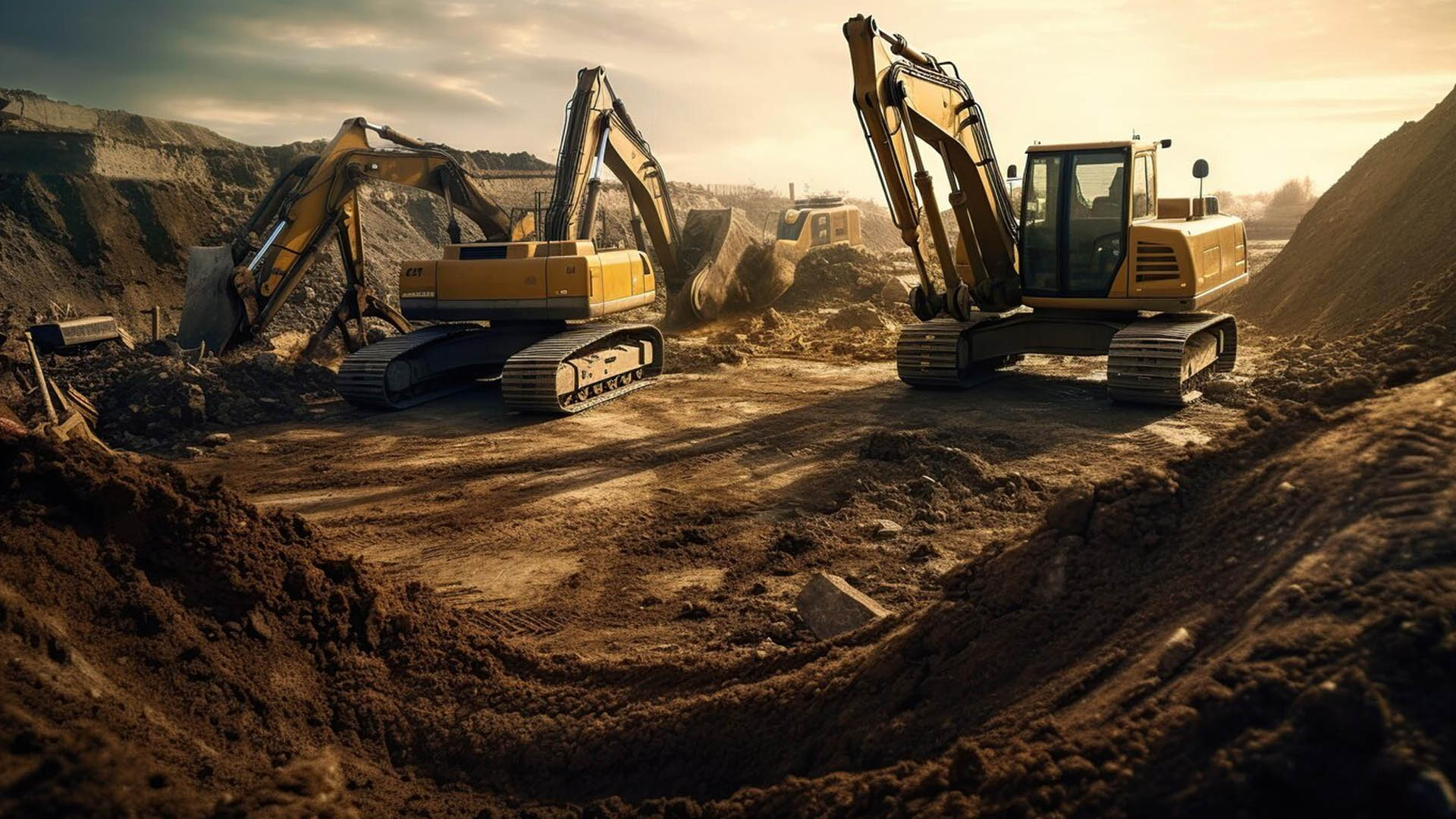
In mining, where precision and safety are predominant, the integration of geospatial technology is redefining the industry’s approach to hazard and risk assessment. Modern mining operations are powered by intelligent geospatial ecosystems that transform raw data into actionable insights, enabling decision-makers to anticipate risks, protect valuable assets, and optimize processes with unparalleled accuracy. The amalgamation of advanced geospatial solutions—such as remote sensing, digital twins, and predictive modelling—ushers in a new era of proactive risk management. As we delve into how these technologies are reshaping the landscape of mining safety and efficiency, it becomes clear that this isn’t just a technological shift; it’s a strategic evolution toward a smarter, safer, and more resilient future in mining.
Key Components of GeoAI-Enhanced Hazard Assessment
1. Unified Hazard Mapping and Analysis:
Utilizing high-resolution spatial data and real-time environmental feeds, GeoAI-driven hazard mapping enables dynamic visualization of risks across complex mining environments. From mapping flood-prone areas to identifying subsidence zones, these tools provide operators with a comprehensive risk landscape that adapts in real time, allowing for immediate responses to emerging threats.
2. Predictive Risk Modeling with Machine Learning:
Predictive models use historical data, environmental conditions, and incident trends to calculate the probability and potential severity of hazards. Machine learning algorithms identify patterns within this data, helping operators make informed decisions by prioritizing high-risk areas and optimizing resource allocation for risk mitigation.
3. Asset Vulnerability Assessment
This framework assesses critical operational assets, including infrastructure and ecological assets, by analyzing how each asset might respond to different hazards. GeoAI integrates geospatial data with simulation models to evaluate the potential impacts on equipment and environmental values, helping mining operations protect both economic and ecological interests.
4. Digital Twin and Real-Time Monitoring
Digital twin technology, combined with real-time sensor data, creates a live, virtual model of mining sites. This model allows continuous monitoring of structural health, environmental factors, and potential hazard indicators like slope stability or gas emissions. Through real-time alerts, this GeoAI-powered system enables immediate responses, significantly reducing downtime and enhancing overall safety.
Advanced Geospatial Tools Empowering Mining Risk Management
Remote Sensing and Satellite Imagery
High-definition satellite imagery provides invaluable insights into topographical and environmental conditions. Advanced remote sensing detects land changes, vegetation health, and erosion risks, supporting early detection of hazardous shifts in terrain.
LiDAR (Light Detection and Ranging)
LiDAR generates precise 3D models of mine structures, slopes, and terrain features. It allows operators to assess physical stability and detect areas requiring safety interventions, thus reinforcing process optimization in mining risk management.
GeoAI for Intelligent Risk Forecasting
GeoAI enables predictive analysis of geological and environmental hazards by processing large datasets, identifying potential threats, and offering actionable insights for mitigating risk. This AI-driven approach to forecasting empowers operators to make strategic decisions based on evolving risk profiles.
Benefits of a Geospatial-Centric Approach
Enhanced Data-Driven Decision-Making
GeoAI transforms vast datasets into actionable intelligence, equipping decision-makers with precise insights to prioritize interventions and optimize operational resources.
Efficient, Intelligent Process Optimization
By minimizing reactive responses, geospatial solutions reduce the costs associated with safety management, allowing for efficient resource allocation and improved operational continuity.
Sustainable Operations and Compliance
GeoAI’s capabilities align mining practices with global environmental standards, facilitating responsible mining through real-time monitoring and risk mitigation of ecological impacts.
Conclusion
Integrated geospatial solutions are reshaping hazard and risk assessment in mining, enabling a proactive, predictive, and precision-based approach to safety. With a unified data ecosystem driving smarter, data-driven decision-making, the future of mining is one where safety, efficiency, and sustainability are achieved in harmony, setting a new industry standard for intelligent risk management.