
Challenge
Accurate crop intelligence has traditionally relied on field surveys and manual reporting, making it difficult to monitor large agricultural landscapes consistently throughout the year. The challenge became even greater in regions where farmers cultivate multiple crops within a single season, leading to overlapping crop cycles and rapidly changing land use patterns.
Solution
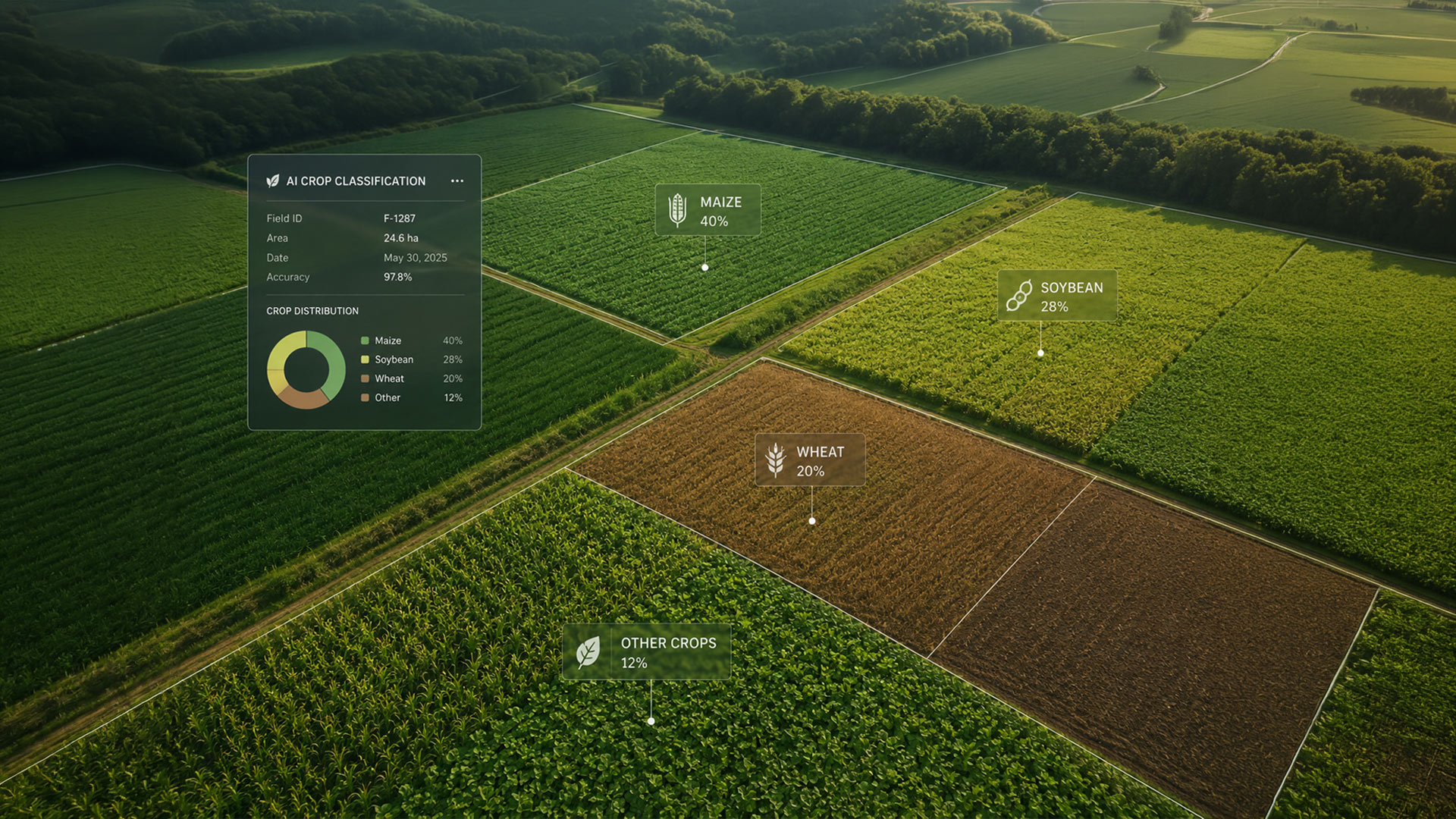
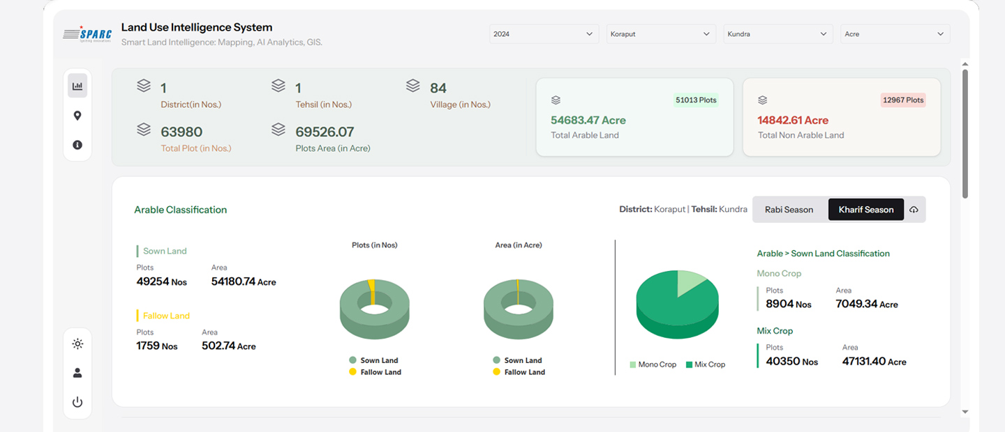
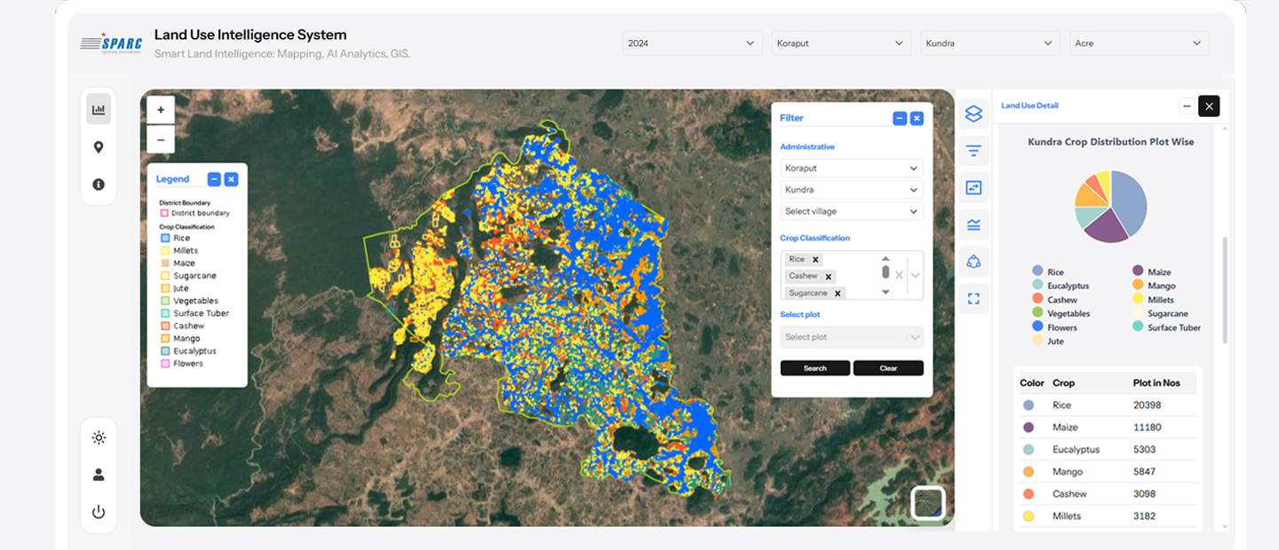
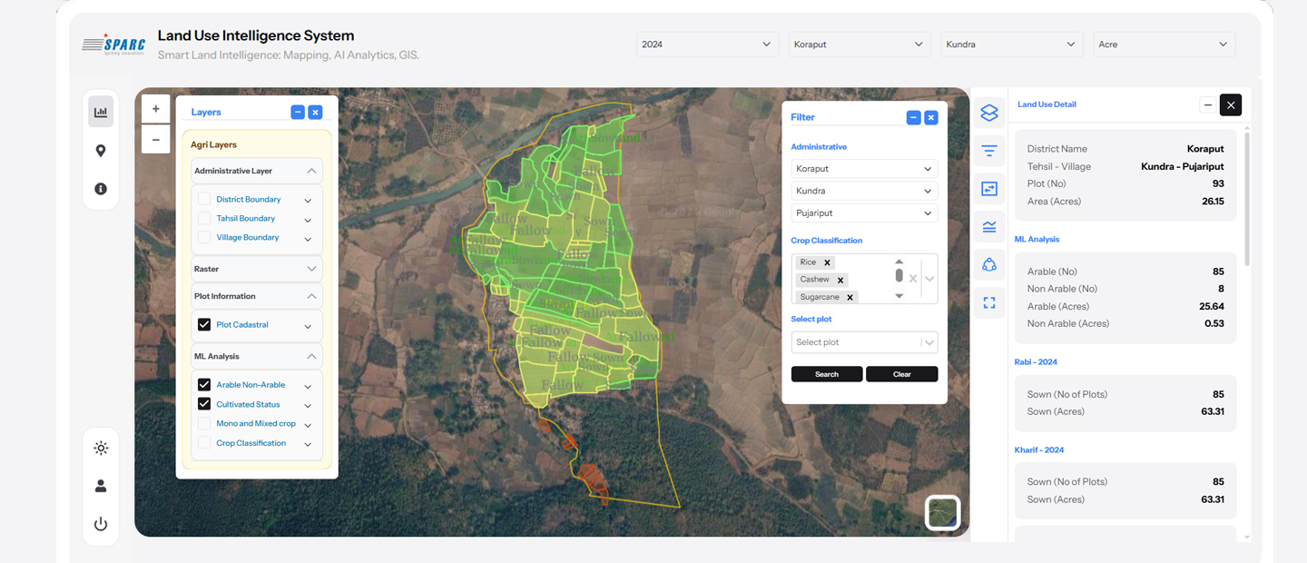
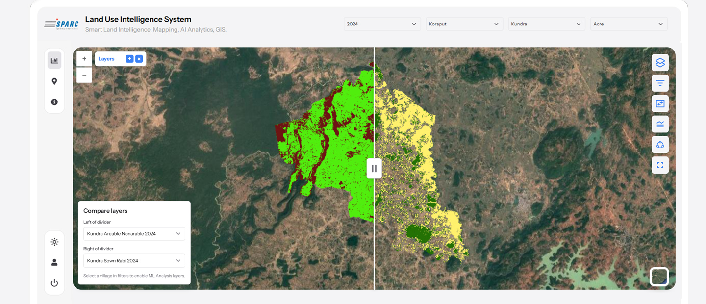
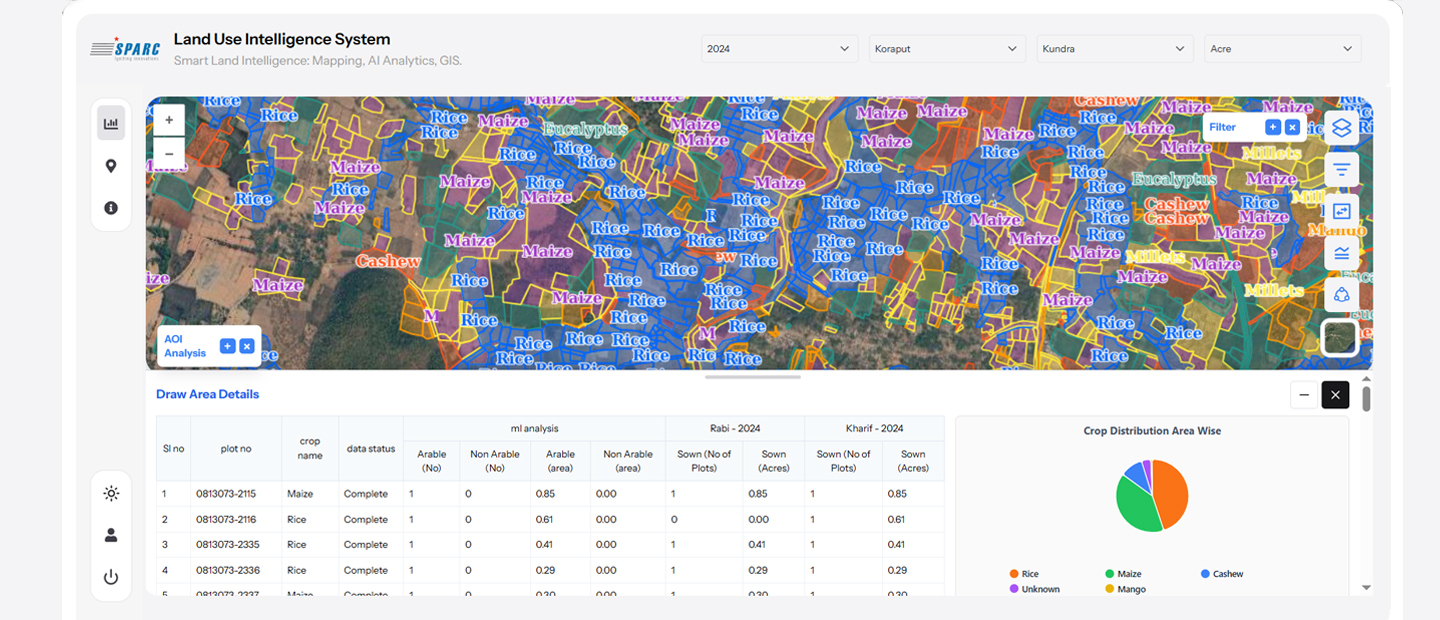
SPARC deployed an GeoAI-assisted Crop Intelligence Platform that utilizes multi-temporal satellite imagery, remote sensing, and AI to identify multiple crops within a crop season. The platform accurately classifies crop types, estimates crop acreage, monitors crop growth stages, evaluates crop stress, and forecasts yields through an interactive GIS dashboard, enabling users to make faster, data-driven decisions.
Outcome
The solution has transformed agricultural monitoring by enabling faster, more accurate, and data-driven crop intelligence across large geographic areas. It has improved crop identification, acreage estimation, growth-stage monitoring, and yield forecasting while reducing reliance on manual field surveys. By delivering timely insights through AI and satellite intelligence, the platform empowers governments and agricultural agencies to strengthen planning, enhance food security, optimize resource allocation, and support sustainable agricultural development at scale.