
Sustainable management of mineral resources requires accurate, timely, and transparent information on mining activities. SPARC developed an integrated GeoAI-powered Mining Intelligence Platform for the Government of Odisha.
Back to case studies
Case Study
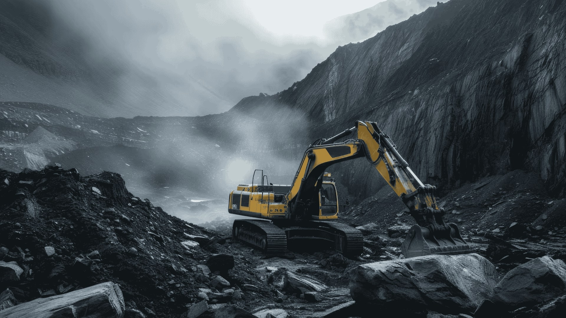
GeoAI-Powered Mineral Intelligence for Responsible Mining Governance
Challenge
Traditional monitoring methods often rely on periodic field inspections, fragmented records, and manual reporting, making it difficult to detect unauthorized mining, monitor lease compliance, assess environmental impacts, and respond quickly to regulatory violations. These limitations increase administrative costs, delay enforcement, and pose significant environmental and governance challenges.
Solution
SPARC developed an integrated GeoAI-powered Mining Intelligence Platform that combines high-resolution satellite imagery, artificial intelligence, GIS, cadastral records, lease information, and mobile field verification into a unified WebGIS ecosystem. The platform automatically identifies active quarrying and sand mining operations, distinguishes authorized from unauthorized activities, and supports ground validation using mobile applications with geo-tagged evidence. The system is used by Government of Odisha for monitoring mining in 1000+ active leases and management of another 4000 resource areas.
Results
The solution has significantly strengthened regulatory oversight by improving transparency, accelerating compliance monitoring, and reducing reliance on manual inspections. Authorities can now identify illegal mining activities earlier, prioritize enforcement actions, protect environmentally sensitive areas, and maintain an auditable record of mining operations.
Highlights & Impact
This solution addresses a challenge common to mining jurisdictions worldwide—balancing economic development with environmental protection and regulatory compliance. The platform is readily adaptable for monitoring aggregates, industrial minerals, quarry operations, and other extractive industries.
Technology Used
- GeoAI & Machine Learning
- Enterprise WebGIS & GIS
- High-Resolution Satellite Imagery & Change Detection Analytics
- Spatial Data Infrastructure (SDI)
- Mobile GIS (Online & Offline) & GPS Field Data Collection
- PostGIS, AI-assisted Compliance Monitoring
- Cloud-ready Enterprise Architecture & API Integration