
Challenge
The Director of Agriculture and Food Production, Odisha, needed site-specific land-use action plans to guide Water User Associations (WUA) what to grow, where-and-when, in different crop season based on land, soil, water & market conditions.
Solution
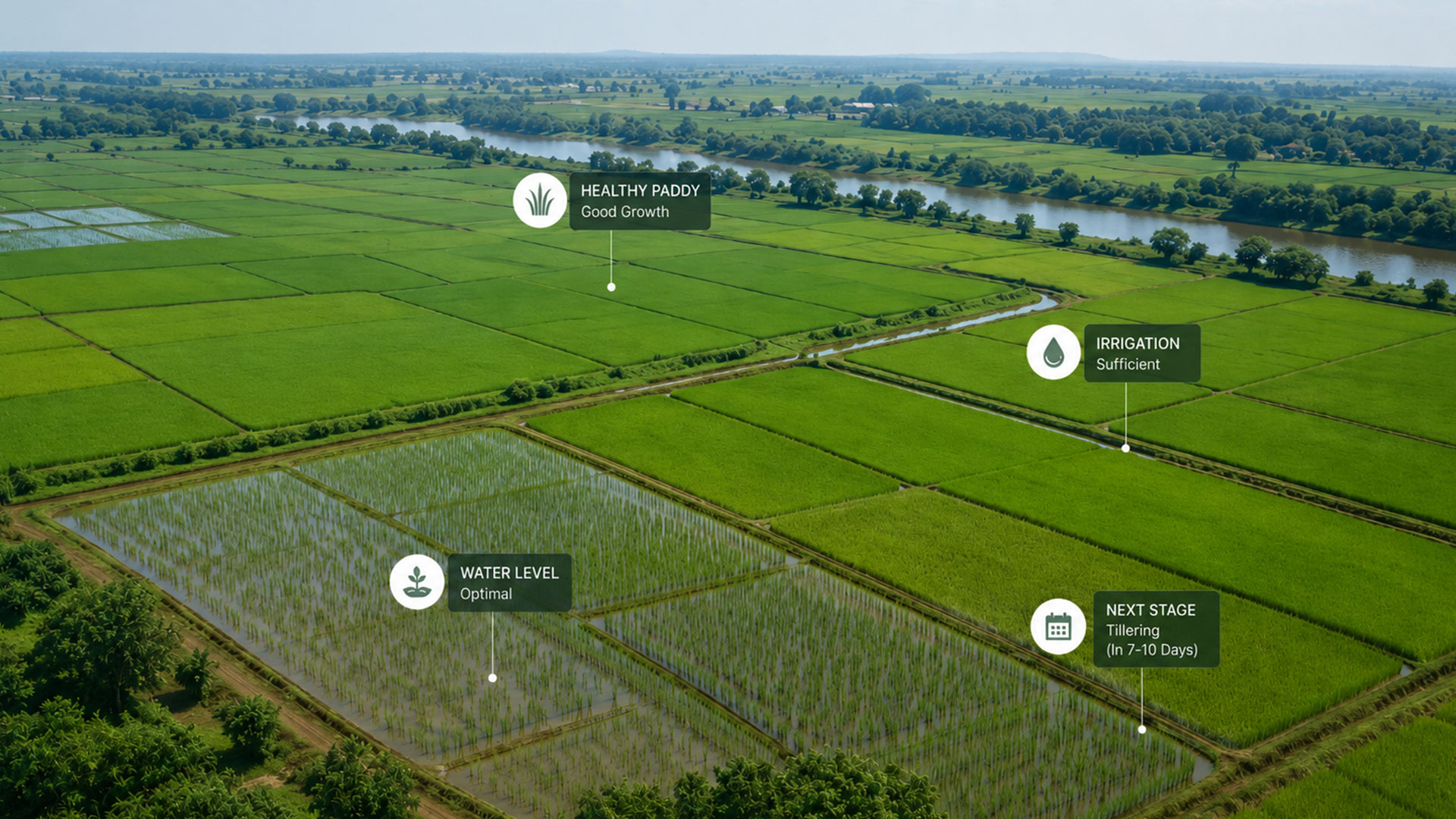
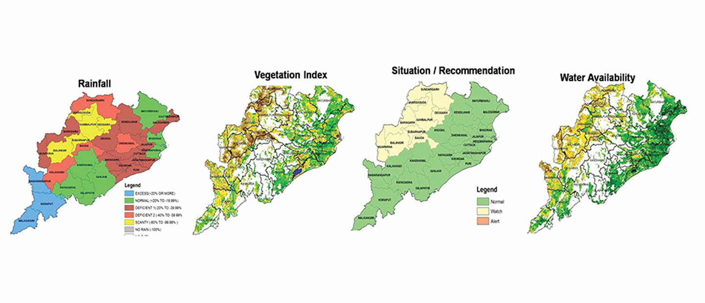
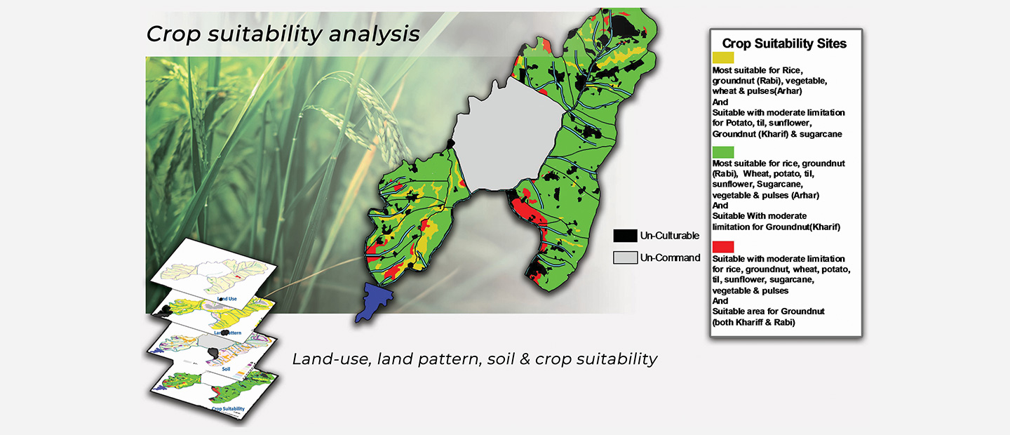
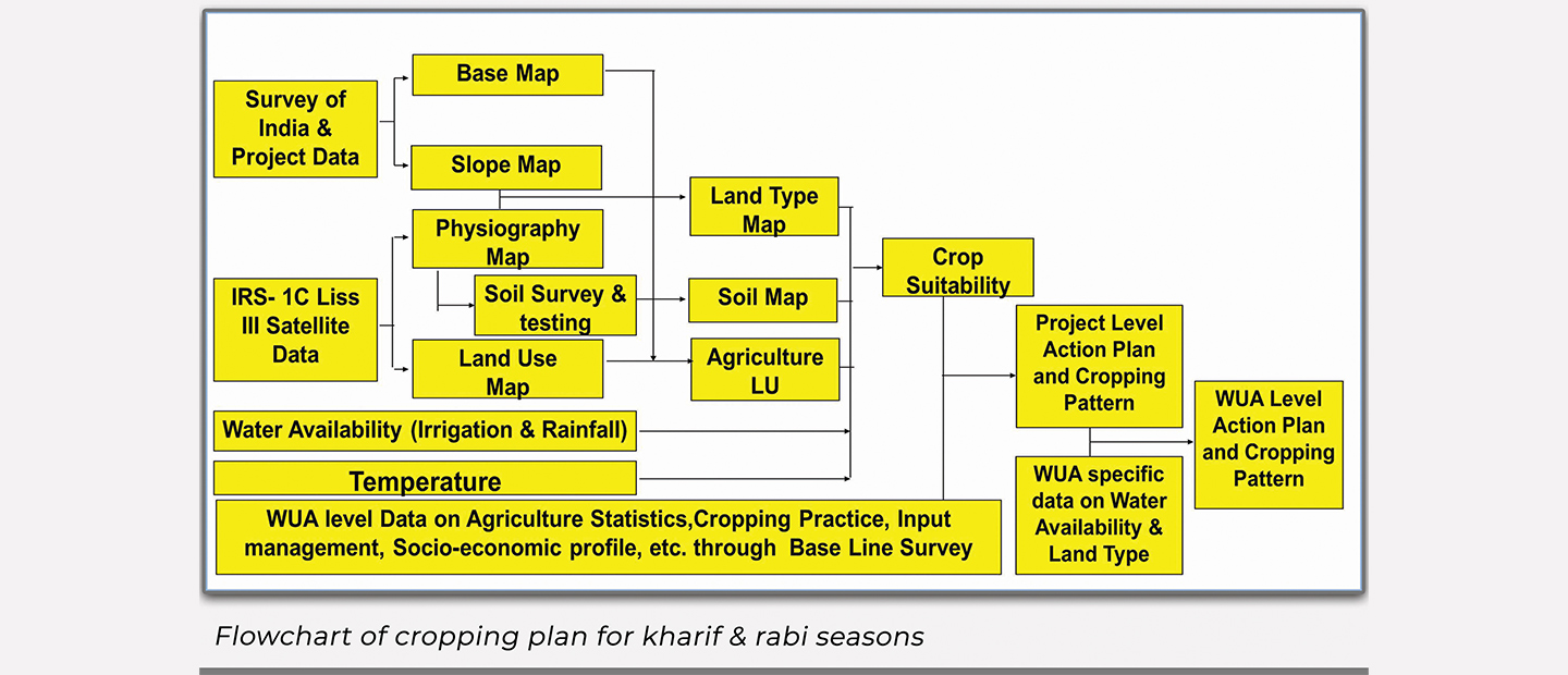
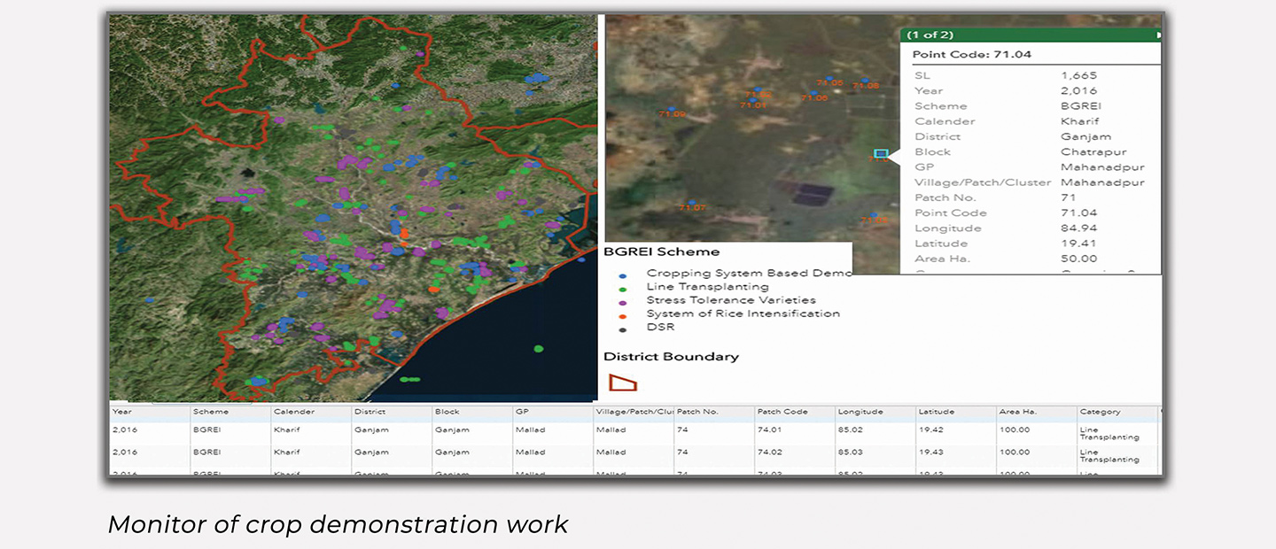
GIS and Satellite remote sensing was deployed with soil surveys and socio-economic studies to build WUA-specific cropping plans for different crop seasons. Its spatial overlay engine — land-use, topography, physiography, soil, temperature, rainfall mapped crop suitability across every part of the command area. PRA-derived irrigation rotation and market access data fine-tuned each plan, while satellite and weather-based crop forecasting and GIS dashboards tracked crop demonstration works.
Outcome
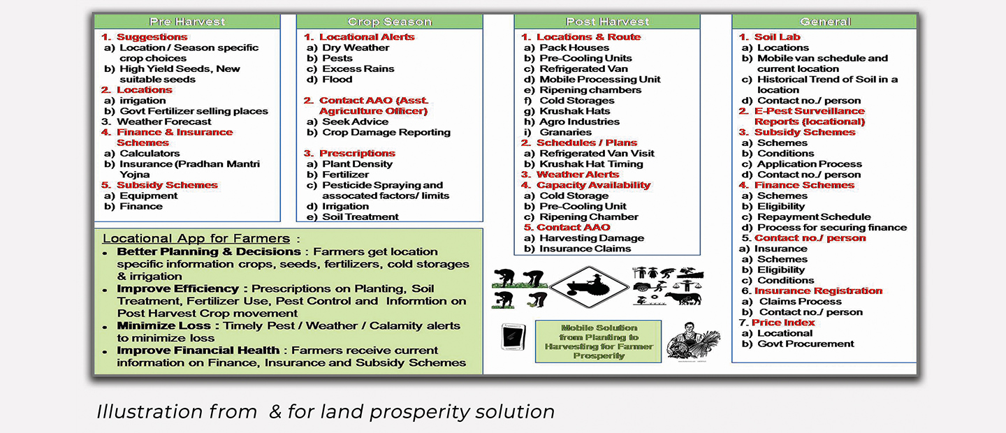
The Water User Associations moved from generic advisories to a season-wise cropping plan matched to its own land suitability, irrigation rotation, and socio-economic realities. The Directorate gained decision-grade inputs on agricultural extension and marketing infrastructure, plus dashboard visibility into demonstration works — turning OWRCP's rehabilitated infrastructure into a farmer and farmland prosperity solution built for sustainable agriculture.