
Challenge
Rapid urbanization, industrial expansion, and population growth are placing increasing demands on land, transportation, utilities, housing, environmental resources, and public infrastructure. Traditional planning processes often rely on static maps, fragmented datasets, and lengthy manual workflows, making it difficult for planners to evaluate development scenarios, coordinate across agencies, and communicate planning decisions to stakeholders. Growing industrial hubs and port cities require integrated planning frameworks that balance economic growth with environmental sustainability and quality of life.
Solution
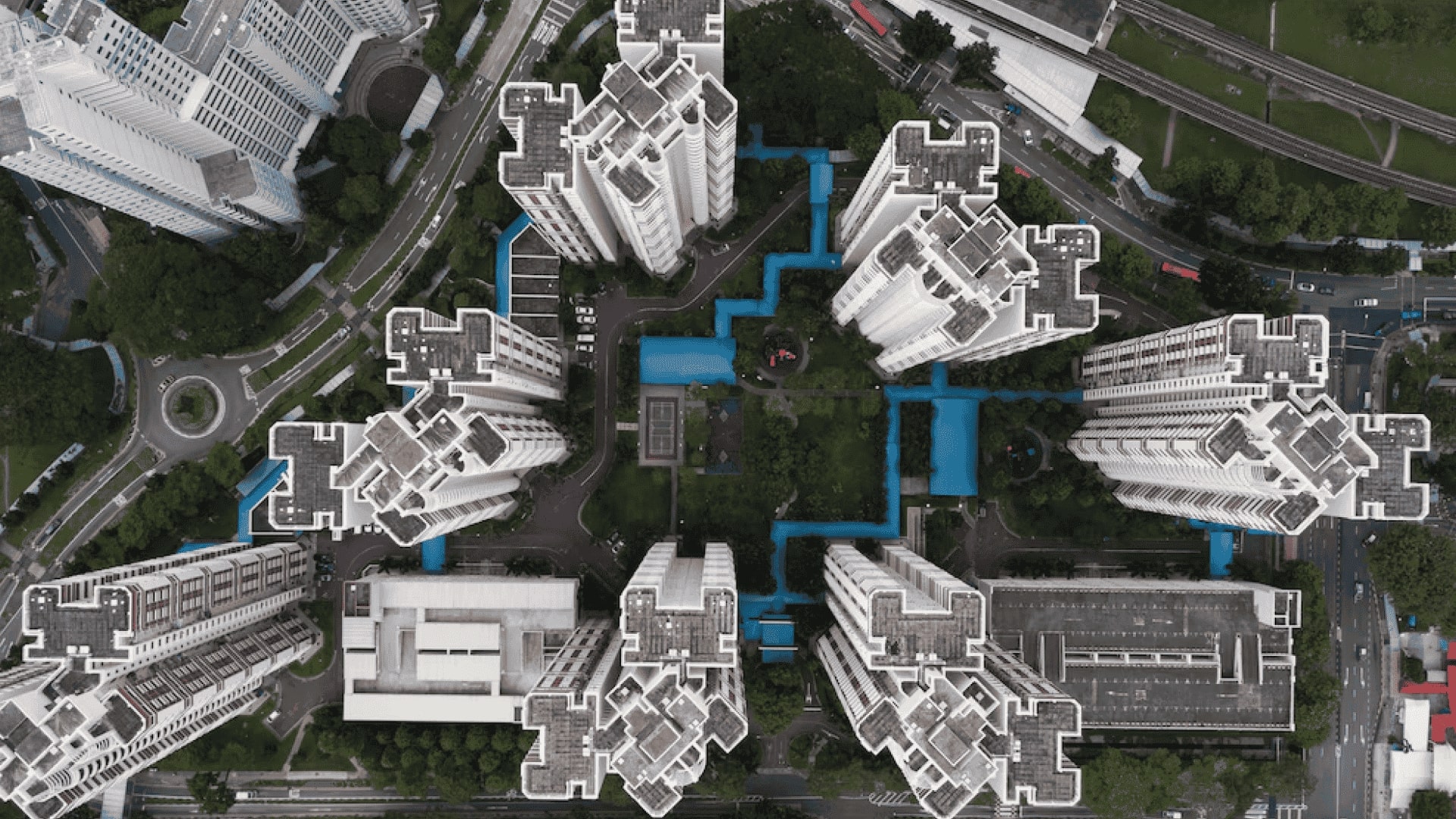
SPARC developed comprehensive GIS-based Master Plans for Jharsuguda Coal complex and Paradip Port city supported by an enterprise WebGIS Planning Information System that integrates land use, transportation networks, utilities, environmental assets, demographics, cadastral information, and development regulations into a unified digital platform. Advanced spatial analytics, suitability modeling, and scenario-based planning tools enabled planners to evaluate future growth patterns, optimize infrastructure investments, identify environmentally sensitive areas, and support evidence-based zoning decisions. The WebGIS portal provides government agencies, planners, developers, and citizens with secure, interactive access to planning information, development regulations, and spatial decision-support tools.
Outcome
The solution transformed conventional planning into a collaborative, data-driven process that improved transparency, accelerated plan preparation and review, and strengthened coordination among planning authorities and infrastructure agencies. It established a reliable digital foundation for sustainable land use, transportation, housing, industrial development, environmental conservation, and public infrastructure planning. By making planning information accessible through WebGIS, the platform enhanced stakeholder engagement, improved regulatory efficiency, and created a scalable framework that supports smart growth, resilient cities, and long-term regional development.
Highlights
As cities worldwide confront rapid urbanization, infrastructure demands, and climate challenges, digital planning platforms are becoming the foundation of resilient urban development. This project demonstrates how GIS, spatial analytics, and WebGIS-based planning information systems can transform static master plans into living digital decision-support platforms that guide investment, zoning, infrastructure expansion, environmental protection, and citizen engagement. By integrating planning, land management, and geospatial intelligence into a single ecosystem, SPARC has delivered a scalable solution applicable to municipalities, metropolitan regions, port authorities, and industrial growth corridors.
Relevant Industries / Sectors
- Urban Planning & Regional Planning
- Smart Cities
- Municipal Government
- Land Administration
- Infrastructure Development
- Transportation Planning
- Real Estate & Property Development
- Ports & Industrial Development
- Utilities & Public Infrastructure
- Environmental Planning
- Economic Development
- Architecture, Engineering & Construction (AEC)
- Digital Government (GovTech)
- Sustainability & Climate Resilience