
SPARC's geospatial monitoring platforms are designed to meet the escalating ESG disclosure and audit requirements for Canadian-listed mining companies — delivering continuously updated, verifiable, tamper-resistant data that satisfies investor, regulator, and community expectations.
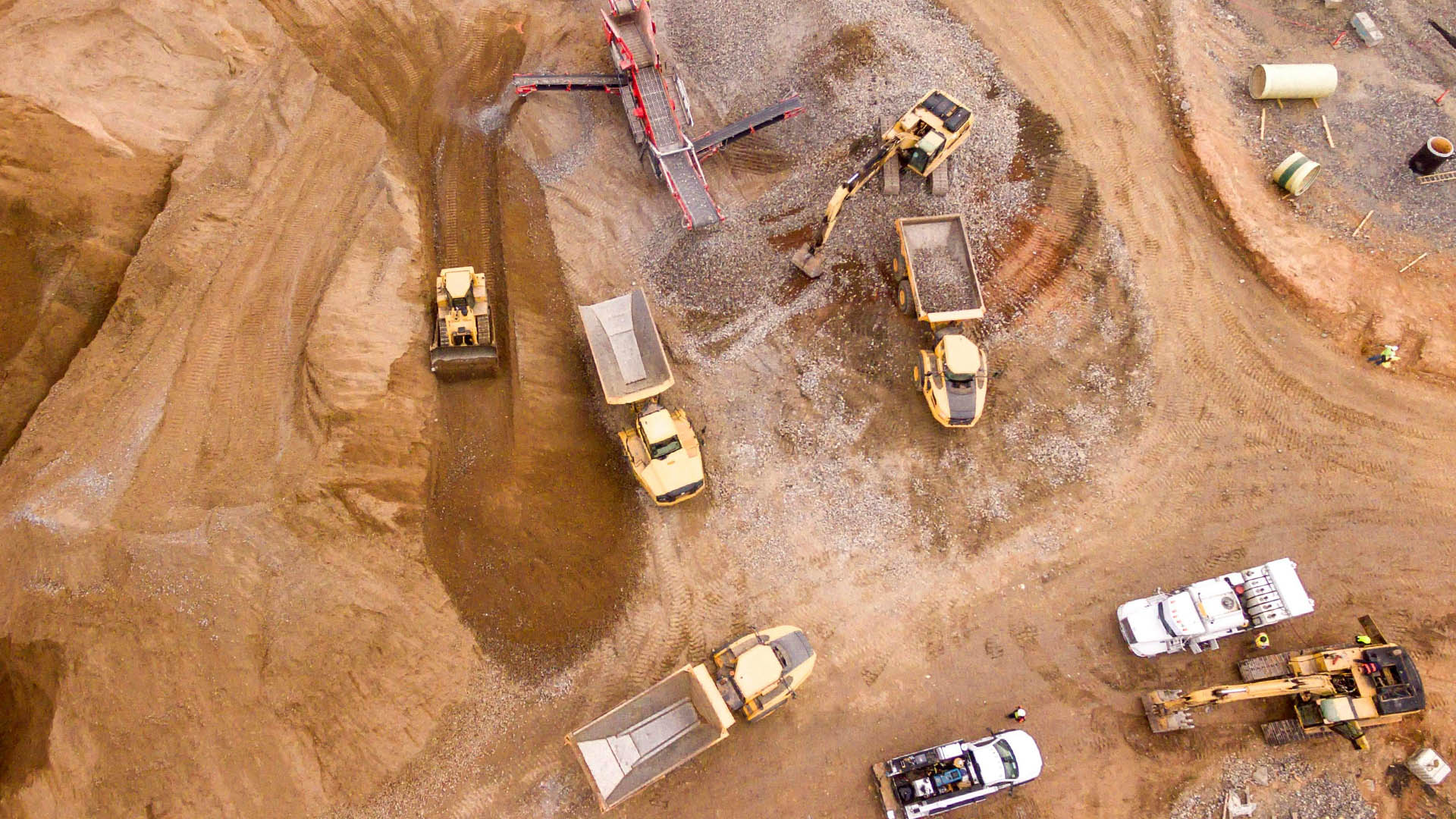
Mining operations generate vast amounts of spatial and operational data — lease boundaries, geological surveys, production records, environmental monitoring — but these datasets often exist in disconnected systems. Site teams operate without a unified, real-time view of operations, leading to inefficiencies in planning, resource allocation, and compliance tracking. This fragmentation increases the risk of boundary violations, inaccurate reporting, and delayed decision-making, ultimately impacting both operational performance and regulatory standing.
ESG expectations have intensified particularly for TSX and TSX-V listed mining companies. Investors, regulators, and local communities now require continuous, auditable evidence of environmental compliance, land rehabilitation, and responsible operations. Manual, periodic ESG reporting is no longer sufficient or defensible. Organizations must move toward automated, verifiable monitoring systems that provide traceable insights across land use, emissions, and environmental impact — delivering objective, tamper-resistant data that supports compliance, reduces audit risk, and strengthens stakeholder trust.
The industry is rapidly transitioning from periodic manual surveying to continuous, automated monitoring. Tailings, water resources, and environmental indicators can now be monitored continuously rather than retrospectively. For mining companies operating in Canada and globally, this shift is not just about compliance — it is a competitive advantage, enabling faster decisions, reduced operational risk, and greater transparency across the entire mine-to-port lifecycle.
End-to-end spatial intelligence services across the full mining lifecycle — from exploration and lease management to environmental compliance and mine-to-port traceability.
Satellite-based verification of post-mining land rehabilitation against approved environmental commitments, enabling continuous tracking of afforestation, land recovery, and compliance with regulatory standards.
Centralised lease boundary management with geospatial mapping of land parcels, encroachment detection, resettlement tracking, and land use change monitoring across mining areas.
Continuous monitoring of key environmental indicators including water quality, air quality, deforestation, and land disturbance, with automated ESG reporting aligned to regulatory and investor requirements.
Real-time GPS-based tracking of personnel and equipment to enhance safety in remote and high-risk mining environments, with centralised visibility and task coordination.
Integration of geological surveys, spatial data, and remote sensing inputs into GIS platforms to support mineral exploration, resource estimation, and data-driven planning.
End-to-end material traceability from mine face to transport and port operations, ensuring audit readiness, regulatory compliance, and transparency for investors and stakeholders.
Satellite-driven monitoring of critical infrastructure including haul roads, pipelines, and tailings storage facilities, enabling early risk detection, structural integrity assessment, and environmental impact mitigation.
Mine-to-Port Visibility and ESG Intelligence
Integrated spatial data infrastructure for mine management, production monitoring, environmental compliance, and operational KPIs — built for TSX/TSX-V listed companies and global mining operators.

Custom Monitoring Overlays for Complex Mine Environments
Bespoke AI and computer vision pipelines built on your mine's spatial data — from automated change detection and tailings risk modelling to custom ESG dashboards for board-level reporting.
SDI-framework spatial data infrastructure for land management, mine planning, environmental compliance, and multi-stakeholder data sharing across West Bokaro Coal Mines.

Geospatial monitoring and compliance management platform for the Manoharpur coal block, enabling regulatory reporting, environmental tracking, and operational oversight for the Odisha State Pollution Control Board.
"For the first time, our mine planners, environmental team, and compliance officers were all working from the same spatial picture. SPARC's platform eliminated the data silos that were costing us time and regulatory risk."
SPARC's mining capabilities, platform overview, case studies, and global deployment track record — in a single shareable document for your team or board.
Download Mining BrochureFrom ESG compliance to real-time operational visibility — our mining specialist Rahul will map the right geospatial solution to your exact site needs.